
Nature
Casariche is located on the geographical centre of Andalusia, in the southeast of the province of Seville, and belongs to the region of Sierra Sur of Sevilla. However, it is closer to the cities of Cordoba and Malaga (about 100 km away) than to the capital of Seville (122 km). It is bordered in the province by Estepa to the northwest, Lora de Estepa to the west, La Roda de Andalucía to the south and Badolatosa to the east. It is also bordered to the north by the municipality of Puente Genil (Córdoba) and to the south by the municipality of Alameda (Málaga).
Relief
Casariche is 303 metres above sea level, although the altitude differs considerably at different points in the town because it is not on a plain, but on the steep slopes that accompany the river Yeguas.
With regard to the orography of the town, the northern and western areas are not very uneven, remaining within a range of 200 to 300 metres. The northeastern area is steeper, gaining in altitude as it approaches the east, where between the hills of La Atalaya de Casariche and La Estacada de las Monjas, it reaches 400 metres in altitude.
The southern area is the highest, with altitudes of more than 350 metres and hills of more than 400 metres. It is worth mentioning the Cerro Chirlanga (390 metres), Cañada del Hierro (405 metres), Laguna de Juan Pérez (413 metres) and the highest at Cortijo Santa Rita at 437 metres.
There are two geodetic points in the town, Atalaya Patronato (to the east) and Campanario (to the north).
- Atalaya Patronato. (Nº 100.636). It was built on 21st October 1976 on the highest point of La Atalaya hill, on olive grove land belonging to the Cortijo “El Patronato” and 1.5 km to the northeast of the latter. Access is via the road to Corcoya up to km. 3.400. If you are in a T.T. vehicle, you can get to the vertex through the olive grove.
- Campanario. (Nº 100.639). It was built on 15th May 1974 at the top of the Campanario hill, belonging to the “Cortijo del Médico” farmhouse. It can be reached from the road to Badolatosa, and next to a transformer (km 7.700), follow the road to La Cuesta de Medina, which goes in a northerly direction. After about 3.5 km, there is a wall with an entrance, go over it and continue in an easterly direction to reach the summit.
Hydrography
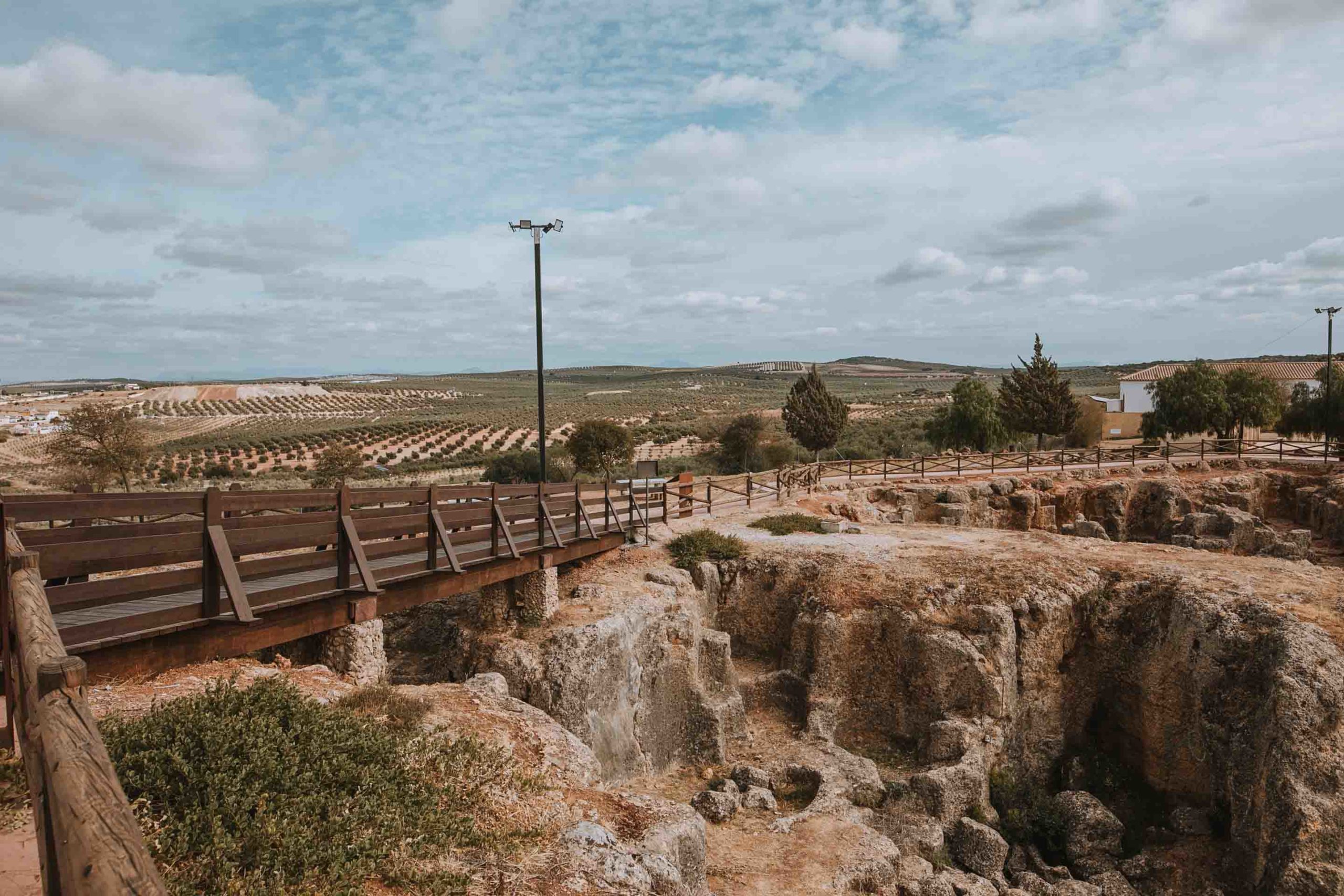
The history of Casariche cannot be conceived without referring to the River Yeguas. It is the main cause of the birth and progress of the town over the centuries and the key element in its expansion and growth. It rises in Sierra Yeguas, in the area known as Sierra de los Caballos, and reaches Casariche from La Roda de Andalucía. After flowing through the municipality it reaches Puente Genil, where it flows into the River Genil. The river runs for up to 1 km through the town, and almost 10 km through the municipal area.
Although its flow is currently quite intermittent, this was not always the case. The old bridge and the mills that operated thanks to it in the 19th century show that it once had a considerable flow. The tragic floods of 1969 and 1973, when it overflowed a 14-meters high bridge and caused damage to hundreds of homes, have gone down in history.
Clima
The climate of Casariche, like the rest of the province, is typically Mediterranean. Rainfall is fairly unevenly distributed throughout the year, although there is a marked minimum in summer and a maximum in autumn and winter.
Temperatures are quite extreme, with significant differences between day and night, and with an annual average of 17.5°C. The climate is characterized by cold winters and hot summers, the temperature generally varies from 3 °C to 35 °C and rarely drops below -2 °C or rises above 38 °C.
Snowfalls are rare in Casariche, although in the last decades two cases have been documented. The first, in the early hours of 28-29 January 2006, and the last being on 10 January 2010.
Demography
In 2020, the population was distributed as follows. Of its 5,429 inhabitants, 4,944 reside in the town center, while the remaining 485 are scattered in urbanised areas around the town, such as El Rigüelo, Ribera Baja, Cortijo Alameda and Viña Diego. The average age of the population is 41.9 years. Racial diversity is also present thanks to the 194 foreigners residing in the municipality, the largest percentage of whom come from Romania (30.9% of them).
Agriculture
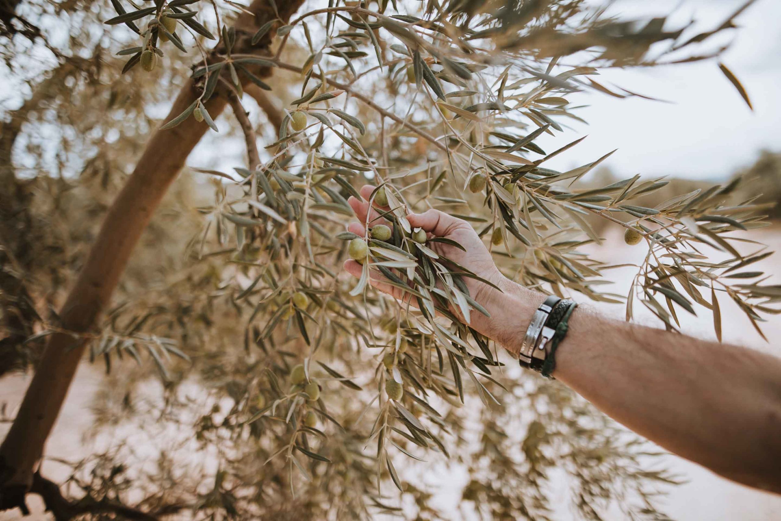
Casariche’s main agricultural livelihood is based on the olive grove, which covers up to 4,491 hectares of woody crops. Of these, 2,400 hectares are rain-fed, while 591 hectares are irrigated, with olives and olive oil being the main agricultural products produced on this land. Arable crops are much less represented, headed by wheat (200 ha).
Source: Instituto Geográfico Nacional (National Geographic Institute of Spain) productos agrarios producidos en esta tierra. El cultivo herbáceo tiene una representación mucho menor, la cual está encabezada por el cultivo de trigo (200 Has).
Fuente: Instituto Geográfico Nacional